Magnetotellurics
► Magnetotellurics (MT) is an electromagnetic geophysical method used for imaging the Earth's subsurface by measuring natural variations of electrical and magnetic fields at the Earth's surface. Investigation depth ranges from 300m below ground (by recording high frequency data) down to 10 kilometers or deeper (with long-period soundings).
► Data processing (performed using 1D, 2D or 3D inversion techniques) returns resistivity depth imaging, which can be interpreted in terms of geological structure. If integrated with other data (drill-hole data, geological or geophysical data, etc.) a highly complex image of the subsurface can be obtained.
► Depending on the depth and size of the target structure, we can record using two major techniques, using different equipment:
► MT – low frequency soundings, greater depths, lower resolution
► AMT – high frequency soundings, lower depths, higher resolution
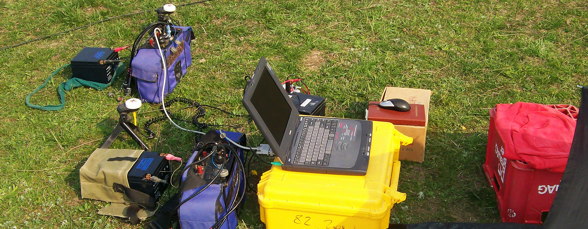
► We own and operate Phoenix Geophysics MTUA-5 (AMT), MTU-5 (MT) and MTU-2E (MT) instruments, V5-2000 system. In data processing and interpretation, we use the software suite WinGlink and Phoenics Geophysics software.