Land Access & GIS
► Obtaining approval permits from national and local authorities, in accordance with the in force legislation, for the execution of 2D / 3D geophysical data acquisition works;
► Identifying all stakeholders in the work area and starting an information campaign on the development of 2D / 3D geophysical data acquisition works.
► Obtaining the landowners' acceptance for crossing the lands owned and payments of any crop damages.
► Permanent assistance during the execution of the geophysical data acquisition operations.
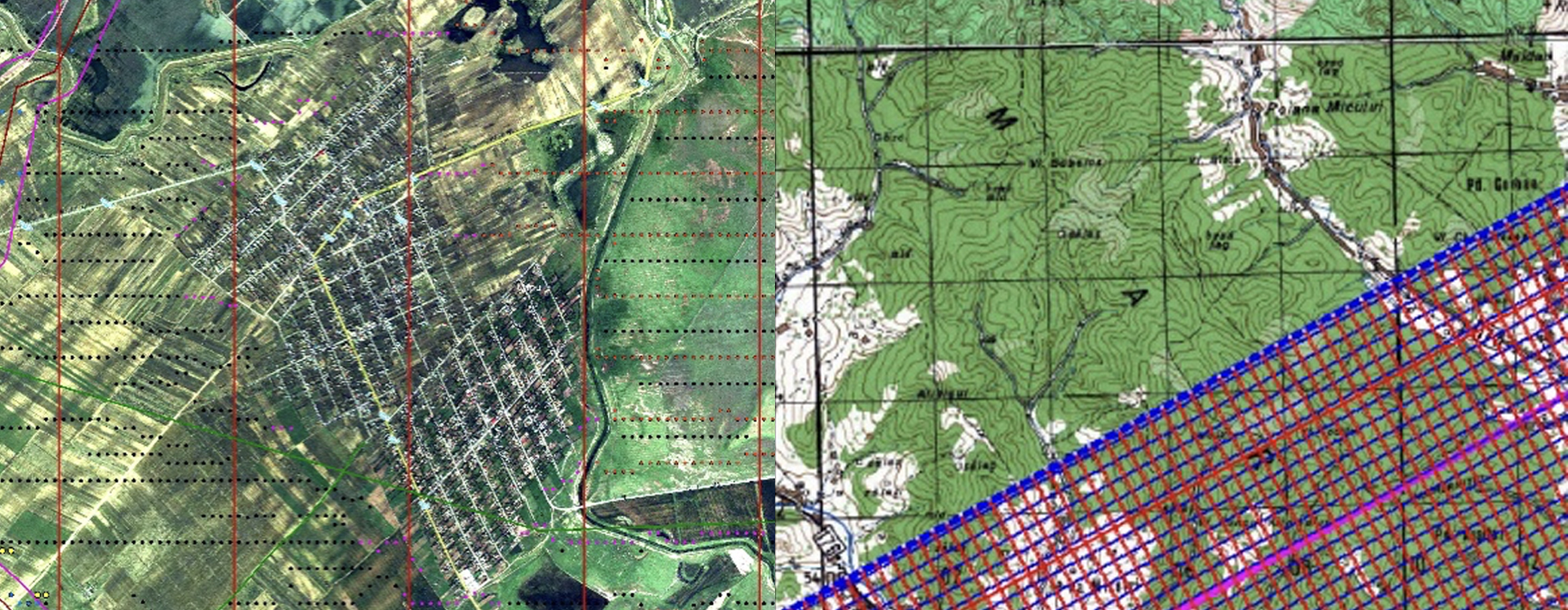
Through its experienced staff, Prospectiuni manages information collected from the field and creates a database, in the form of a geographical information system (GIS), specific to each project. The information from the GIS database is a great support for the good development of field activity for all crews and the successful management of relations with local community and public authorities.